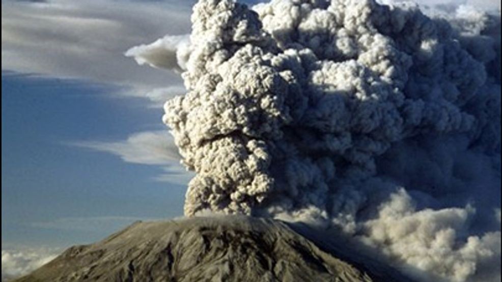
MT. ST. HELENS, Wash — Mount St. Helens stood silent for over a century in Washington’s Cascade Range, but that all changed 45 years ago Sunday when the sleeping giant woke up and erupted into Pacific Northwest history.
At 8:32 a.m. on May 18, 1980, a 5.1 magnitude earthquake rattled Mount St. Helens, and the north side of the volcano’s summit began to slide down the mountain. The landslide of rock and ice was the largest in recorded history, according to the U.S. Geological Survey (USGS).
RELATED | Mount St. Helens eruption anniversary sparks memories of survival and resilience
The landslide removed Mount St. Helens’ northern flank and part of the cryptodome inside the mountain, causing the volcano to depressurize and erupt. The mountain went from 9,677 to 8,364 feet tall in moments, and the smoke plume climbed 60,000 feet in the air, visible from satellites in orbit around the Earth.
The images that came out of the eruption and its aftermath embedded themselves in the public and private consciousness of the Pacific Northwest and the world, capturing the awe and devastation of an event that laid waste to the environment for miles in every direction.
Fifty-seven people were killed, as well as countless animals, birds, and fish. Ash buried buildings and cars, and continued to fall for weeks afterward. However, the catastrophe also brought out the best in people: Crews worked to save lives and recover the lost, photographers and reporters documented the historical moments, researchers gained valuable information, and the community united to support the displaced and memorialize the event.
Here you can browse through KOMO News’s archive of images from the eruption, capturing everything from the infamous smoke plume to shell-shocked survivors studying the ashy aftermath.


