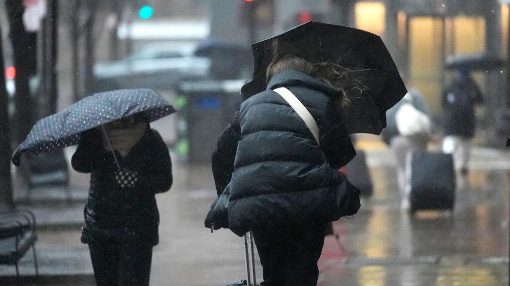
The partial reprieve from rain in Massachusetts should come to an end Thursday night as rain showers return and likely continue through Saturday night.
A slow-moving frontal boundary is expected to move south into New England, bringing with it an initial round of showers, according to the National Weather Service. Another round is expected to follow before 12 a.m.
Boston could see a chance of rain and thunderstorms before 11 p.m., while Springfield could see both before 12 a.m. and before 2 a.m. in Worcester, forecasters said. Each city should see patchy fog.
Unless there are any thunderstorms that produce more rain, Springfield and Boston should see less than a tenth of an inch of rain in total, while Worcester could receive between three-quarters and 1 inch.
Overnight lows should be in the high 40s and low 50s.
Come Friday morning, rain showers are expected to continue throughout the day, forecasters said.
“Still have a slight chance of thunderstorms with the increasing synoptic lift,“ forecasters wrote. ”Rain could be heavy at times, especially Friday night, as the low-pressure center moves towards coastal New England by the Cape Cod area.”
Until Saturday morning, a flood watch is in effect and covers eastern and western Franklin, eastern and western Hampden, and eastern and western Hampshire counties. Forecasters warn of excessive runoff as a result of flooded rivers, creeks and streams and other low-lying and flood-prone locations.
With this potential for flooding, as much as 3 inches of rain is possible, the flood watch alert read.
“You should monitor later forecasts and be alert for possible flood warnings,” the alert stated. “Those living in areas prone to flooding should be prepared to take action should flooding develop.”
Springfield could see three-quarters and 1 inch during the day and at night, while between a quarter and half of an inch is possible in Worcester. Boston could see between a tenth and a quarter of an inch during the day, while at night rainfall totals could be between a half and three-quarters of an inch.
Temperatures during the day are expected to be in the high 40s and low 50s, while overnight lows should be in the high 40s and low 50s again, forecasters said.
This storm is expected to carry into Saturday, where Worcester and Boston could see potential thunderstorms with heavy rainfall before 2 p.m., forecasters said. Springfield is also likely to see rain and thunderstorms throughout the day, with totals likely being between a tenth and a quarter of an inch in all three cities.
From south to north, rain should taper off going into Saturday night, forecasters said. Dry conditions should follow and continue through Monday.


