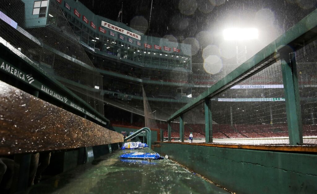
Rain is expected to continue falling into Friday night and into the weekend, but it is likely to end sooner than forecasters previously expected.
Between Friday and Saturday morning, a total of 1 to 2 inches of rain are likely to accumulate, according to the National Weather Service.
Chances of rain increase between 6 p.m. Friday and 12 a.m. Saturday, weather service forecast maps show. Boston and Worcester have an 85% chance of rain at 6 p.m., while it is 70% for Springfield. These numbers drop by midnight: 75% for Boston, 55% for Springfield and 50% for Worcester.
The remainder of this storm is not expected to become more severe, “but given the saturated ground of late, some minor urban flooding is possible this afternoon and evening, especially where drainage is poor,” forecasters wrote.
The Berkshires and Worcester Hills could see the most of this 1-to-2 inches of rainfall, but a dry slot should go into effect at around 12 a.m. and spread eastward, forecasters said.
By 8 a.m., widespread rainfall is expected to end, forecasters said. Temperatures on Saturday should climb back into the 60s after temperatures on Friday ranged in the 50s.
Also by Saturday morning, a flood watch will be in effect. This covers multiple cities, including Northampton, Orange, Worcester, Barre, Springfield, Amherst, Vernon and Putnam, among others.
“Excessive runoff may result in flooding of rivers, creeks, streams and other low-lying and flood-prone locations,” the flood watch read.
The dry slot should keep conditions free of rain as the morning goes on, forecasters said. Skies should continue to be overcast, with the potential for some sunshine in the afternoon as skies clear up into the evening. Gusts should pick up as conditions warm going into Sunday, as next week’s temperatures jump back into the 70s.


