POULSBO, Wash. (KOMO) — Sunday marks the 45th anniversary of the eruption of Mount St. Helens on May 18, 1980.
At 8:32 a.m. on May 18, 1980, a 5.1 magnitude earthquake rattled Mount St. Helens and the north side of the volcano’s summit began to slide down the mountain. The landslide of rock and ice was the largest in recorded history, according to the U.S. Geological Survey (USGS).
PHOTOS | 1980 Mount St. Helens eruption seen from no-fly zone
The landslide removed Mount St. Helens’ northern flank and part of the cryptodome inside the mountain, causing the volcano to depressurize and erupt. The mountain went from 9,677 to 8,364 feet tall in moments and the smoke plume climbed 60,000 feet in the air, visible from satellites in orbit around the Earth.
Fifty-seven people were killed, making it the deadliest eruption in U.S. history.
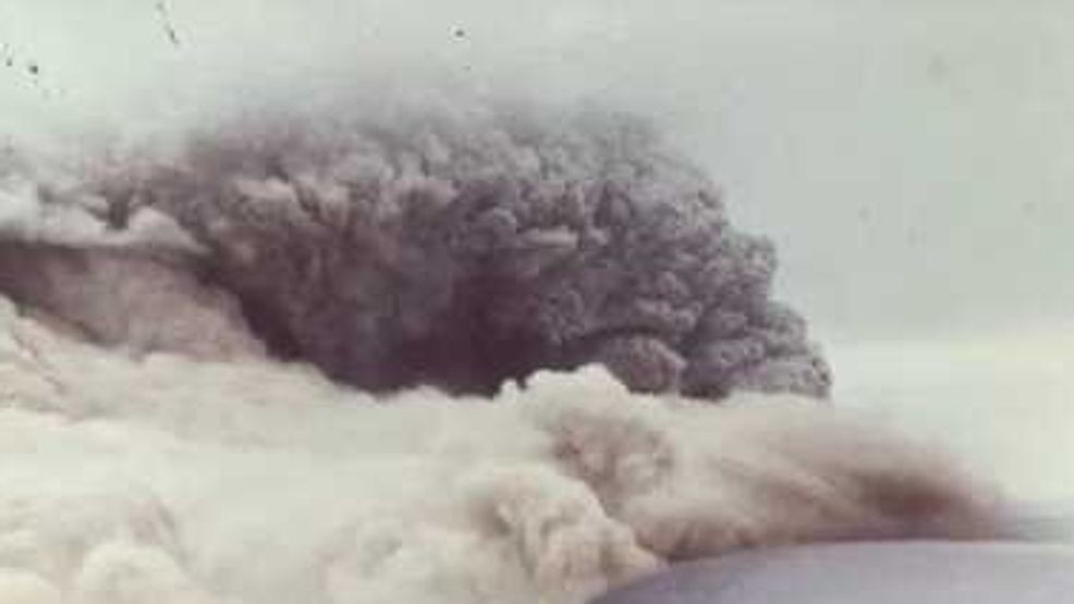
Salem Towne of Poulsbo shared what he claims are the closest photographs ever taken of the eruption. Towne said he was flying at the time of the eruption and he was able to get the photographs.
In a post on Nextdoor, Towne said he was flying his Cessna on May 18, 1980, when the mountain blew.
“I had to fly through a narrow gap in ash layers to get to the mountain. I was able to fly to the rim, keeping upwind, and got the closest photographs ever taken of the eruption. Flying in a no fly zone, I never published the photos, but I’d like to share them here,” Towne wrote.
The photos show a bird’s-eye-view of the large plume of smoke coming from the mountain.
The blast sent an estimated 3.2 billion tons of ash into the sky, which covered roofs and streets around the region, causing more than $1 billion in damage. The debris from the eruption covered more than 24 miles and damaged miles of property.
The blast devastated an area about 19 miles wide from east to west and more than 12 miles north from where the summit was, according to the USGS.
“Virtually no trees remained of what was once dense forest” in the inner zone extending about 6 miles from the summit, the USGS said.


